
San Mateo County Neighbors: Official Sources
A block lookup works best when each source is assigned one purpose. County GIS defines parcel shapes and jurisdiction. The ACRE assessment roll adds property and mailing attributes where released. The Recorder connects an identified parcel to recorded transaction parties. Historical reverse directories show listed occupants in street order, while precinct files describe election geography rather than a list of names. Voluntary community contacts can add events or public officers, but they do not turn a private roster into a public record.
| Source | Block-level view | Access path |
|---|---|---|
| County GIS / Property Information Portal | Adjacent parcel geometry, APNs, jurisdiction, and linked parcel facts | Free viewer and downloads |
| ACRE assessment roll | Parcel-by-parcel assessment and ownership attributes where released, plus situs and mailing fields | Portal, counter, or focused request |
| Recorder grantor-grantee index | Transaction parties for an individually resolved parcel | Index, copies, or counter |
| Reverse directory | Historically listed occupants and businesses in street-number order | Library shelf or local-history collection |
| Precinct boundary data | Electoral geography, not voter identities | GIS download |
| Voluntary association contact | Public officers, contacts, events, or notices when published | City or association page; member route |
Owners and occupants are not the same record. A deed shows a party to a transaction. An assessment record may show a mailing contact. A reverse directory shows a listed name for a particular year. None of those alone proves that every person in a household lives at the parcel today. That distinction keeps a San Mateo County neighbors search tied to evidence instead of assumption.
Map San Mateo County Neighbors by Parcel
The documented adjacent-parcel method begins with the San Mateo County Property Information Portal. Search the known address, note the APN and jurisdiction, keep the parcel popup available, and then click the polygons beside and across the street. The map is a way to define the block. It is not a ready-made list of neighbors.
Address → parcel → APN and jurisdiction → adjacent polygons → parcel facts → recorder party trail. That chain separates the land from the people who may use it and keeps each name tied to a specific parcel question.
- Enter the target address, normalize the street suffix and directional, and select the matching parcel.
- Record APN, situs, map position, and jurisdiction. Close or retain the popup, then click each parcel on both sides and across the road.
- Compare the assessment record's situs and mailing fields. A different mailing address can show off-site correspondence, but it does not prove who occupies the parcel.
- Resolve each parcel before using the Recorder grantor-grantee index. For a whole named street, use the San Mateo County street directory workflow instead of treating adjacent clicks as a full street chain.
The current web interface did not confirm a buffer or radius control. Pan, zoom, parcel selection, and downloadable layers are the reliable documented path for a block-scale check.
San Mateo County Neighbor Parcel Edges
Parcel boundaries are more reliable than estimated building spacing. A large lot may contain one structure, several structures, or a shape that reaches farther than the visible frontage suggests. Active-parcel and jurisdiction layers can be downloaded for exact adjacency work, while the map viewer supports a quick visual pass. County GIS also publishes streets, city and county boundaries, and election precinct data in Shapefile, File Geodatabase, AutoCAD, KML, and GeoJSON formats.
The county reports that the Property Information Portal was recently upgraded as a streamlined source for property information, tax assessment, and parcel documents. That is useful for a current address, but a map layer still answers geography first. It does not certify occupancy, list every household member, or expose utility and delivery customers.
Note: A parcel polygon defines a legal unit for research, while a block label is a practical description that can change with the question.
San Mateo County Neighbor Assessment Limits
The ACRE assessment roll can connect an APN to situs, values, assessment attributes, and a mailing contact where that field is released. The ACRE assessor online services and tax tools are strongest by address or parcel. The assessment trail helps identify the owner record attached to each lot, but it is not an occupant directory. A deed can show a grantee or grantor, and a tax mailing address can be off site. Treat each as a different fact.
- Situs address
- The address of the taxable site. It identifies the parcel location.
- Mailing address
- The address used for tax correspondence. It may differ from the situs and does not prove residence.
- APN
- The county parcel identifier used to keep a land record tied to a particular unit.
- Legal description
- The land description in a recorded instrument, such as a lot, block, tract, or older metes-and-bounds reference.
If a public result stops at a parcel number, use the assessor counter or a narrowly described public-record request to the actual custodian. The Recorder index and copies are separate access channels for transaction parties and instrument images.
San Mateo County Neighbor Precinct Rules
Precinct boundaries can place a parcel in an electoral geography, but they are not voter rosters. ACRE Elections and California My Voter Status serve different purposes. My Voter Status is a personal identity check. It can return registration status, party preference, voting districts, county elections contact, vote-by-mail or ballot status, and election information after identity matching.
First name, last name, and date of birth are required for the personal form. The system may request a California driver license or ID number, or the last four digits of an SSN, for private matching. Those identifiers are not public roll output. A qualified elections, scholarly, journalistic, political, or governmental requester must apply and certify purpose through Elections; cost and delivery depend on the extract. California Elections Code §2194 prohibits commercial use and limits release and reuse. Contact ACRE Elections at 650-312-5222 or registrar@smcacre.gov for the current form, exact fields, format, and fee.
Street-level presence cannot be pulled from My Voter Status. An authorized file may be sorted or geocoded by residence for a qualified purpose, but it must not be republished as a general list of San Mateo County neighbors.
The county Elections services page is the right starting point for purpose rules and current access instructions.
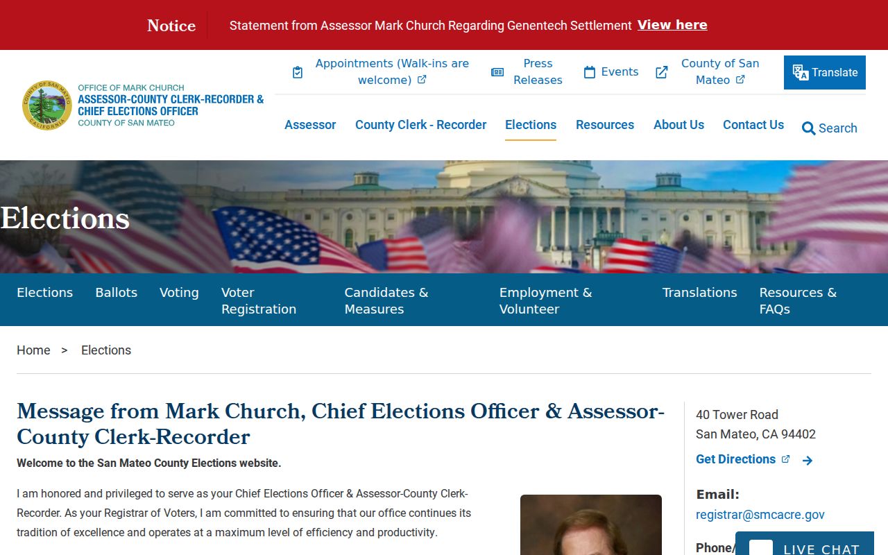
The election reference image reinforces the distinction between a personal status check, a qualified extract, and a GIS precinct boundary.
San Mateo County Neighbor Jurisdiction
Postal city names and community names can cross the line that controls local service. Start with the parcel GIS jurisdiction, then route to the city clerk, planning office, or county service named for that geography. The communities below are useful search terms, not proof that every nearby parcel belongs to the same government unit.
| Community or area | Routing clue for a neighbor search |
|---|---|
| North Fair Oaks | County community; verify the parcel jurisdiction before choosing a local contact. |
| Broadmoor | Unincorporated area; use GIS and county routing rather than a postal assumption. |
| Emerald Lake Hills | Named community near Redwood City and Woodside-edge postal geography; GIS controls the parcel route. |
| Montara, Moss Beach, and El Granada | Unincorporated Coastside communities with broad delivery areas. |
| Baywood, Aragon, Shoreview, Hillsdale, and North Central | San Mateo community names; confirm the city neighborhood route. |
| Friendly Acres and Redwood Shores | Redwood City community names; compare postal label with parcel jurisdiction. |
| Westlake | Daly City neighborhood routing; a ZIP or mailing name is not enough. |
These names help narrow a civic or community search, especially when an address sits near a city edge. They do not create a public list of residents. GIS is the durable way to decide which office, city page, or county service owns the next record.
San Mateo County Neighborhood Contacts
Current association contacts are voluntary, local, and uneven. No single countywide roster of households is documented in the research set. A public officer, event notice, or neighborhood email can show how to reach a group, but a private HOA, congregation, block-watch, or veterans roster remains controlled by that organization unless it chooses to publish it.
North Fair Oaks and Broadmoor
Confirm county jurisdiction in GIS.
Use the county or community contact route for public notices and civic events.
Coastside communities
Montara, Moss Beach, and El Granada.
Check County Planning and the group’s own published contact path.
Peninsula city neighborhoods
Baywood, Aragon, Shoreview, Hillsdale, and North Central.
Start with the city clerk, planning page, or voluntary association contact.
- Confirm the parcel's city or unincorporated jurisdiction in County GIS before looking for a neighborhood page.
- Use a city clerk or planning neighborhood page for a public liaison, meeting notice, or civic contact when one is posted.
- Use an association's own public contact route for officers and events, not for a private membership list.
- Ask an HOA, congregation, block-watch, civic, veterans, or fraternal group about member access only through its stated process.
- For historical community research, use local libraries or the San Mateo County Genealogical Society databases; historical indexes are not current neighbor rosters.
Public contact roles identify people who elected to be reachable for a group. They do not identify every household on a block. That boundary is especially important in mixed city and unincorporated communities.
San Mateo County Neighbor Megan's Law Limits
California Megan's Law provides a statutory name and map or address-area search for registrants shown under state rules. It is not a block directory, proof of current occupancy, or an invitation to contact someone. Excluded persons and display limits apply, and the resource warns that information cannot be used to commit a crime or discriminate unlawfully. Use it only for lawful safety awareness and follow every posted restriction.
The distinction matters when a neighbor question is really a parcel question. GIS, assessment, and Recorder sources establish land and transaction context. Megan's Law is a narrow public-safety resource with its own restrictions. Do not combine a map result with assumptions about household membership or use it to watch, threaten, or identify people outside the statutory purpose.
The official California Megan's Law interface is the source represented in the reference image, with its statutory restrictions attached.
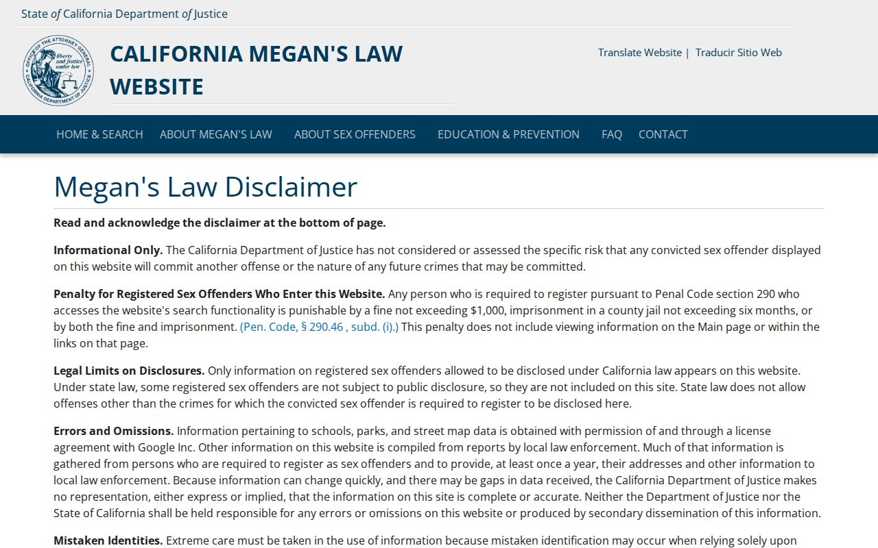
The linked reference image shows the type of official interface available, while the statutory warnings remain part of the search itself.
San Mateo County Neighbor Tools
Official records and commercial compilation tools answer different questions. The comparison keeps the local record chain in view without treating a purchased compilation as proof.
| Source category | Useful for | Limits |
|---|---|---|
| GIS, assessment, and Recorder sources | Parcel geometry, APN, jurisdiction, mailing clues, and recorded parties | Owner is not always occupant; images and older material may require a counter or copy request. |
| Qualified Elections data | Purpose-limited residence, district, and registration fields | Application and certification apply; protected fields stay confidential and republishing is restricted. |
| Reverse directories and voluntary contacts | Historical listed occupants, public officers, events, and community context | Year, membership, and publication gaps are common; private rosters are not public. |
| Commercial compilation category | Possible name and address leads gathered from mixed data | May lag corrections, confuse same-name people, charge recurring fees, and offer only category-level opt-out routes; it is not official proof. |
A name match is a lead until an independent local anchor supports it. APN, legal description, case number, business filing, spouse or relative, and chronology can separate people with similar names. Stop when the evidence no longer supports the next inference.
San Mateo County Neighbor Privacy
Renters, minors, unlisted household members, utility customers, and delivery customers are not a public block index. A recorded deed may omit the people who live at a parcel. A reverse directory may omit an entire household. Courts also protect sealed, juvenile, adoption, victim, and confidential fields. California's Safe at Home program supplies a confidential substitute mailing address and confidential voter registration for qualifying survivors and reproductive-health personnel or patients.
Safe at Home does not erase past records or change a name. Recorder documents can be corrected or redacted only through statutory procedures. Voter signatures, full identification numbers, and protected addresses remain confidential. DMV personal information is restricted as well. Public availability never authorizes threats, doxxing, impersonation, or an attempt to bypass a protected address.
California's Consumer Privacy Act, Civil Code §1798.100 et seq., as amended by the CPRA, gives qualifying people rights to know, delete, correct, limit certain sensitive information, and opt out of sale or sharing, subject to exceptions. The Delete Act, SB 362, created the California Privacy Protection Agency's DROP mechanism and added broker deletion duties. Use a verified request path, save the confirmation, and provide no more identity material than the verification process reasonably requires.
Records-linked scams also use local facts. A fake deed-copy notice, property-fraud letter, advance-fee unclaimed-property pitch, family impersonation, or court payment call may borrow a parcel or obituary clue. Verify with ACRE, the court, the Sheriff, or the State Controller through an independently obtained official number, not through the solicitation.
Lawful use. San Mateo County neighbor lookups fit personal safety awareness, civic curiosity, and reconnecting. California Penal Code §646.9 addresses stalking, Civil Code §1708.7 provides a civil stalking cause, and Penal Code §653m addresses repeated harassing communications.
Stop at the boundary of the record. A lawful block search can identify parcels, public contacts, and the office that holds a record. It cannot turn incomplete public fields into a complete picture of a private household.